
Enjoy Millions of the Latest Android Apps, Games, Music, Movies, TV, Books, Magazines & More. Anytime, Anywhere, Across Your Devices.
Your mobile travel guide with integrated hiking and bike card display (1:10 000) leads you to the most beautiful leisure and holiday destinations in Munich and Oberbayern ! Experience your free time where Bavaria is most beautiful!
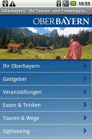
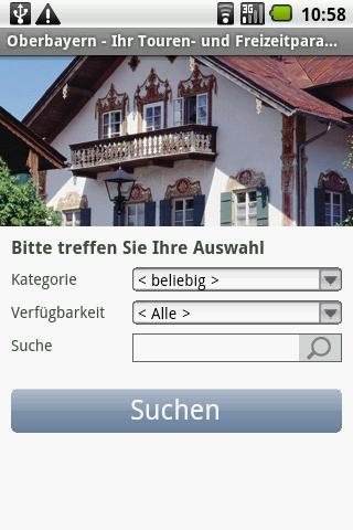
Your phone answers you to all relevant questions before and during your vacation in Oberbayern ! Where exactly are I? What can I do here and where is the next hotel, the next thermal bath, the next cultural tip, ...? Thanks to the integrated camera view, you can even find out the names of the surrounding mountain peaks or which memorial is currently in front of you. In addition to many hiking and touring suggestions, you can also plan your tour individually. Whether on foot, by car, cycling or by mountain bike - with the Oberbayern app you can easily get to your destination!
Numerous vacation, outdoor and tour tips for all Oberbayern . Detailed road, hiking and cycling cards, city plans and high-resolution aerial photos always help you to find the right way. Videos from the region give you an insight into the Bavarian way of life.
Leisure tips for hikers, cyclists, families and singles!
- Wellness: thermal baths & bathrooms
- Bergbahnen & lifts
- Klöster, Churches & (Königs) locks
- Mountains & lakes
- Hotels and gastronomy
- Hiking and bike tours
- UV M
Departmented holiday regions in Oberbayern :
- Alpine region Tegernsee Schliersee
- Ammersee-Lech
- Berchtesgadener Land
- Chiemgau
- Chiemsee-Alpenland
- Ebersberger Green Land
- Inn salzach
- Munich and Munich area
- Pfaffenwinkel
- Tölzer Land
- Zugspitz region
The project "Maps - Internet -based networking of tourist data is co -financed by means of the European Fund for Regional Development (EFRE)" goal "Regional competitiveness and employment" Bavaria 2007/2013 (RWB).
Please note that the app is only functional in connection with an internet connection.
Currently available maps: ... Munich / Oberbayern
Topographical cards:
* State of Bavaria (up to TK 1: 10,000)
Aerial photos over LVG Bayern
* State of Bavaria (in 4 cm/pixel)
Additional maps:
* Aerial photos over Microsoft Bing Maps (in 100 cm/pixel)
* Road tickets via OpenStreetMaps (Cloudmade)
Editor / imprint:
Tourismus Association Munich- Oberbayern eV
Postfach 600320
81203 Munich
Tel.: 089/829218 - 0
Email: Touristinfo@ Oberbayern .de
 Download(1.57MB)