
With the Waterways Cruises Boaters Update Messages Waters.
With the Wasserwege app, leisure boats receive current water reports, such as traffic impairments, water levels or ice reports and the opening times of over 600 (six hundred) locks at the federal waterways in Germany on their tablet.
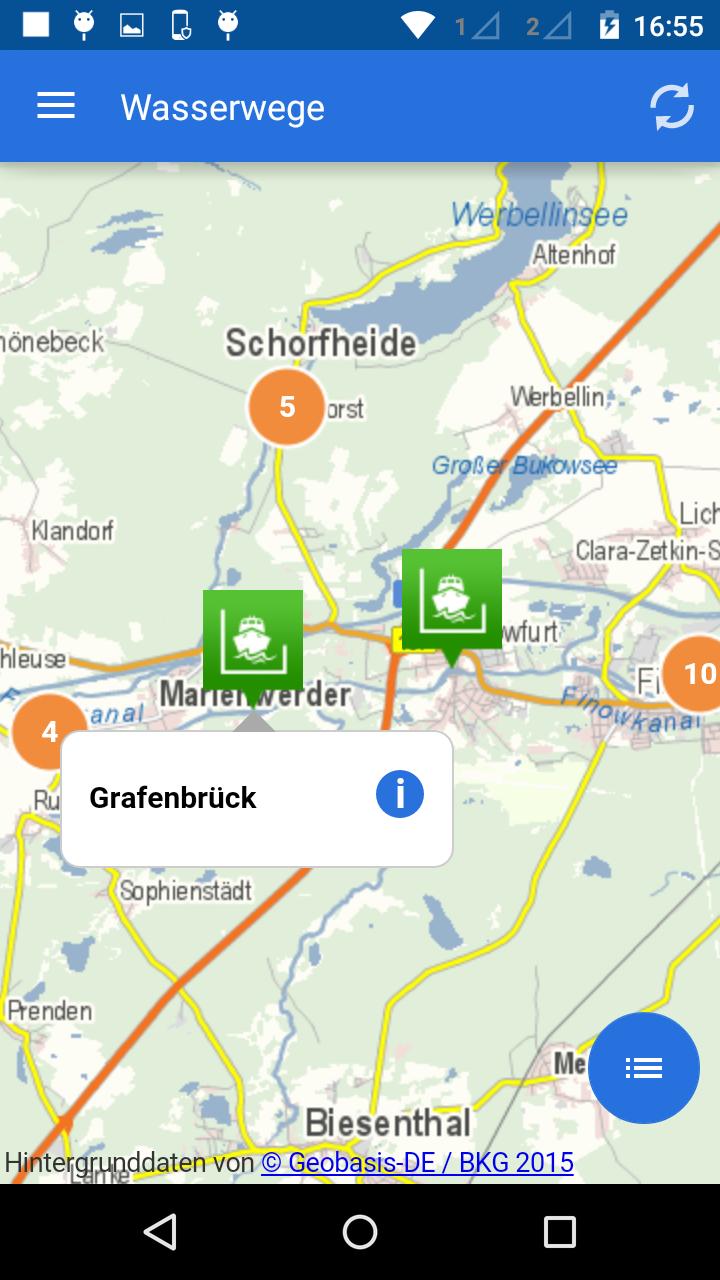
On a map, all important information from the federal waterway and shipping management of the federal (WSV) on the approximately 7,350 km of inland waterways with its rivers and channels, as well as sea water streets for leisure and sports boat shipping are visualized quickly and location.
If a lock is open at the time of the query, this is shown to the user by a color highlighting of the lock icon on the map. Similarly, when the lock is closed or blocked.
Hand-powered locks are symbolized by a manual company icon.
Plan your boat trip with the Wasserwege app in advance or find out more about news for inland navigation.
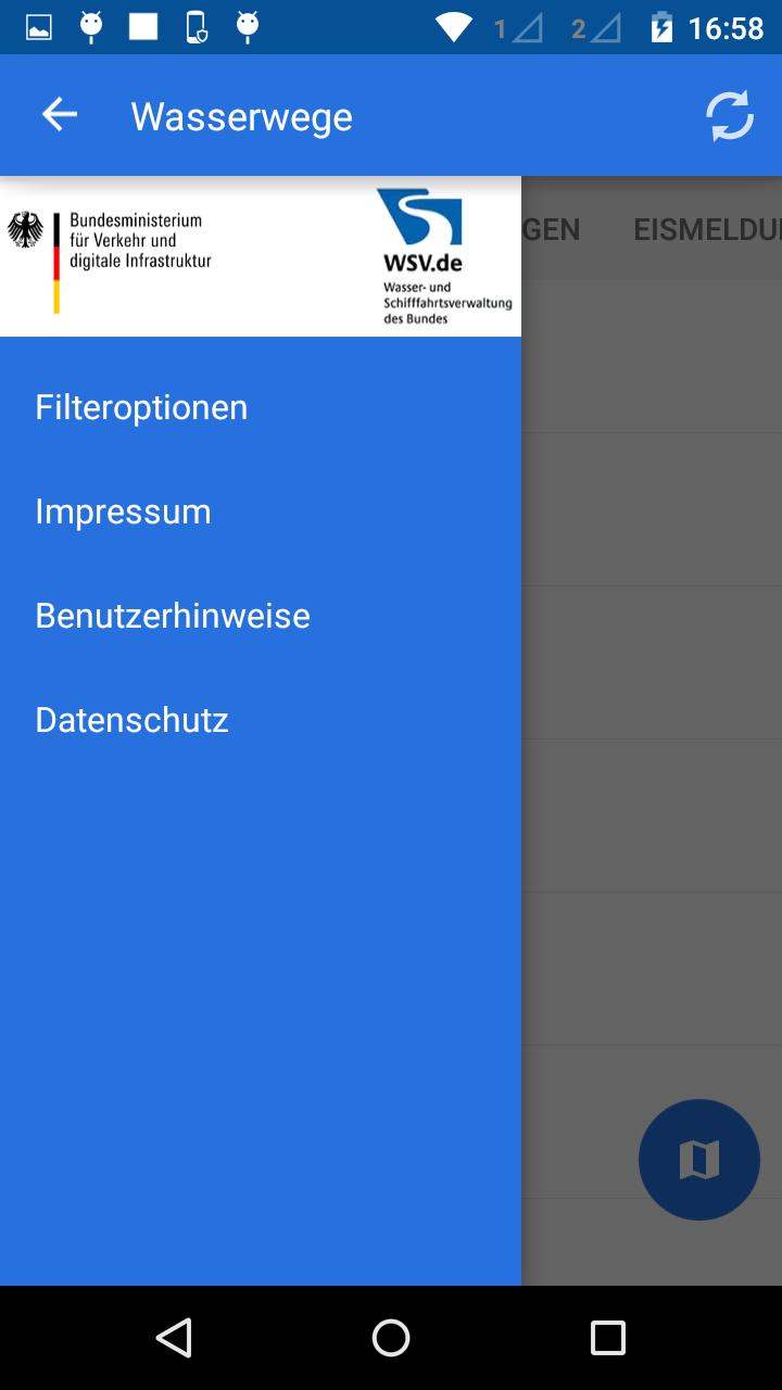
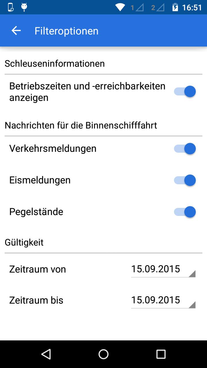
Via a user -friendly filter, the display of water reports, such as traffic impairments (e.g. blocks, deflections, dredging work, overtaking, overtaking), can be inserted to a certain period of time and filter according to the message type. In this way, information on the planned water route can be identified in the run-up to a boat tour.
Overview of functions:
-D representation and description of 617 locks including information on the operating mode, on the location on the federal waterway, facilities for sports boat shipping, contact information and display of year -round locking times, enrichment and lock closures
-Display and description of traffic impairments with the duration of the disorder, type and associated water sections
-Marification and description of levels or water level reports and ice reports on the federal waterways including information on the latest measured value, the measuring station and information on accessibility
-Involving official information from the electronic waterway information service (ELWIS) and the waterway and shipping management of the federal government (WSV)
- GPS location
 Download(6.44MB)